Carp Madness GPS Navigator Bluetooth
- 0 Euro Versand (DE)
€549.95*
Available, delivery time: 1-3 days
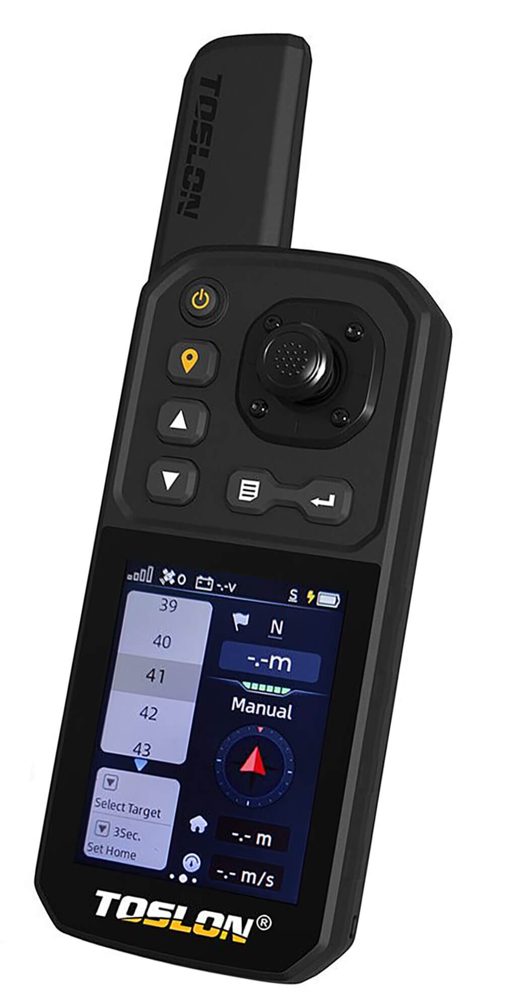
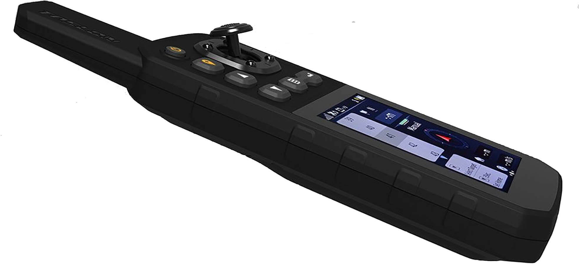
Carp Madness Baitboat Navigator GPS / Bluetooth - for Android or Windows
This GPS data system for bait boats transmits all important data via Bluetooth with built-in booster up to 500m. At the shore, the receiver is simply connected via Bluetooth to your laptop, tablet or smartphone.
Highest transmission security in the 2.4 Ghz range, thus eliminating interference from other radio systems of the bait boat. This system surprises with highest precision and accuracy. The installation is very simple, after downloading the corresponding app from the Google Playstore or via Windows, the device is connected via Bluetooth and off you go.
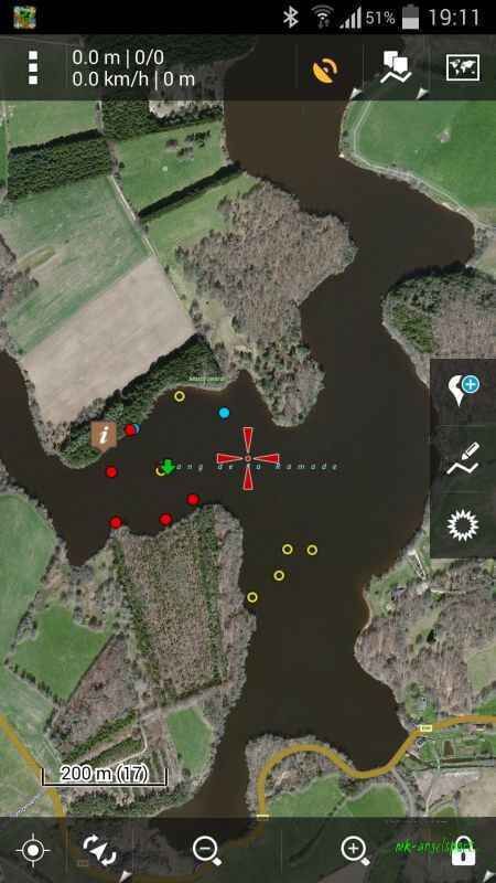
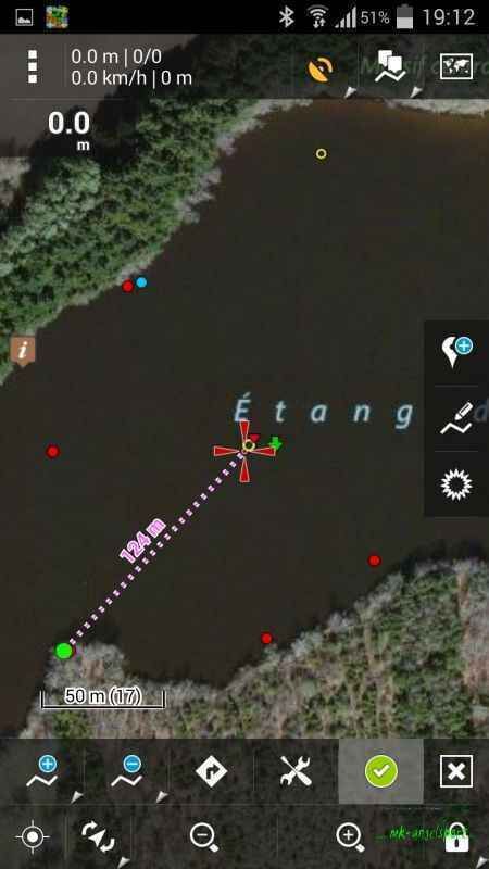
The control takes place over up to 50 satellites at the same time, the accuracy is less than 1 m in 85 % of the cases. Storage of the data in the feed boat up to several months by an inserted battery-buffered memory. The satellite maps can be downloaded at home and used on the water without internet connection (!).
A variety of different software available on the market allows a wide range of applications: e.g. Google Maps, Google Earth, Locus Maps or other GPS software display of individual parameters such as distance, speed, coordinates, etc.. Re-access the saved spots Save and track routes Live track the routes of your feedboat Create a database of all important info`s, e.g. plateaus, edges, shoals.
A variety of different software available on the market allows a wide range of applications:
- e.g. Google Maps, Google Earth, Locus Maps or other GPS Software
- Display of individual parameters such as distance, speed, coordinates, etc.
- Re-addressing of the stored spots
- Save and track routes
- Follow the routes live
- Create a database of all important Info´s, e.g. plateaus, edges, shoals; water charts can be created very quickly
- Describing the spots with freely selectable dates, weather, bait, caught fish, etc.
- Permanent storage of all data on a smartphone or PC, also possible offline if the maps are stored beforehand.
- Water charts can be created very quickly
- Describing the spots with freely selectable dates, weather, bait, caught fish, etc.
Permanent storage of all data on a smartphone or PC, also possible offline if the maps are stored beforehand.
Scope of delivery GPS Bluetooth:
- GPS transmitter and receiver module, 2.4 Ghz transmission and Bluetooth, range 400-500m
- Transmitter module is operated with 9 V block battery
- 2 x antennas
- complete and detailed instructions for coupling and commissioning the device with pictures
